English
 Serbian
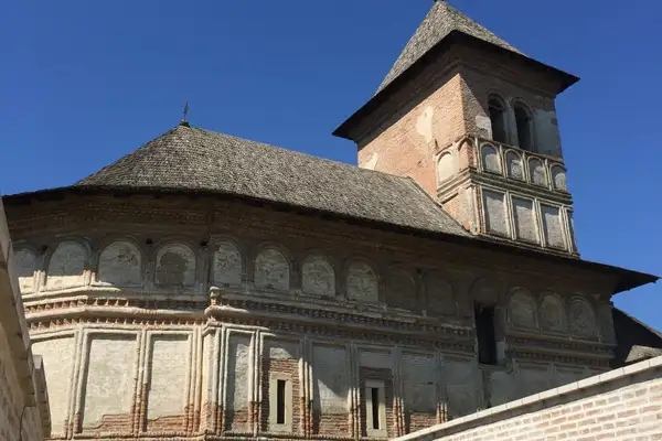
Ruta Tematică: Patrimoniul Cultural
Numele Atracției Turistice: Manastirea Sfanta Treime din Strehaia
Locație: în localitatea Strehaia, județul Mehedinți, România, aflată la 48 km de Drobeta Turnu Severin. La Strehaia se poate ajunge pe DN6, drumul ce leagă Drobeta Turnu Severin de Craiova.
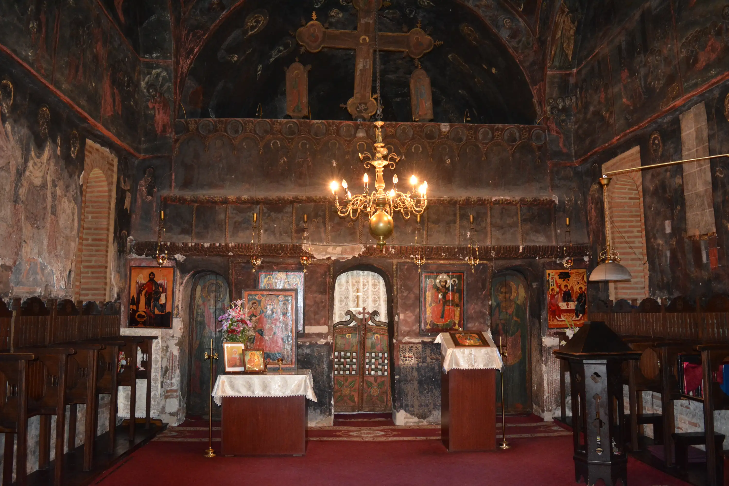
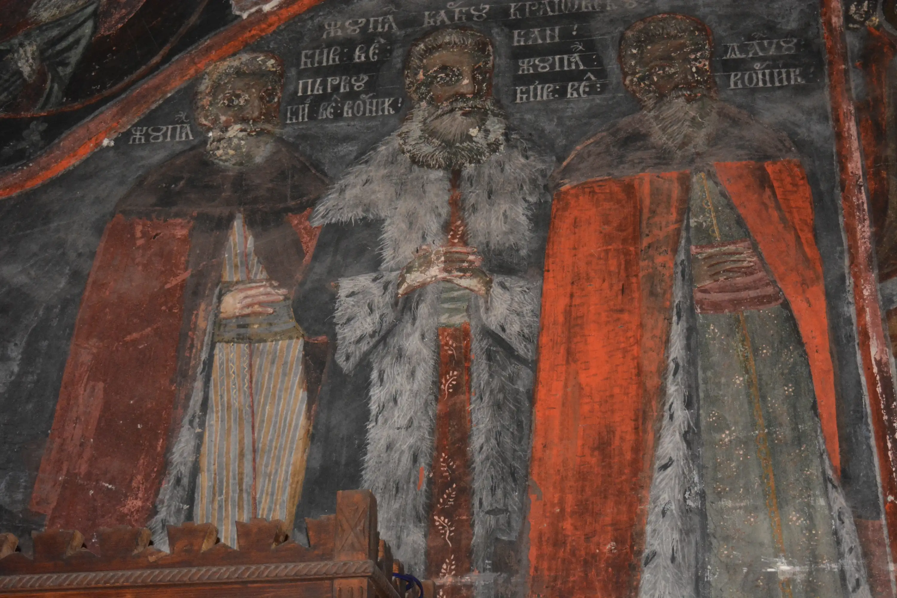
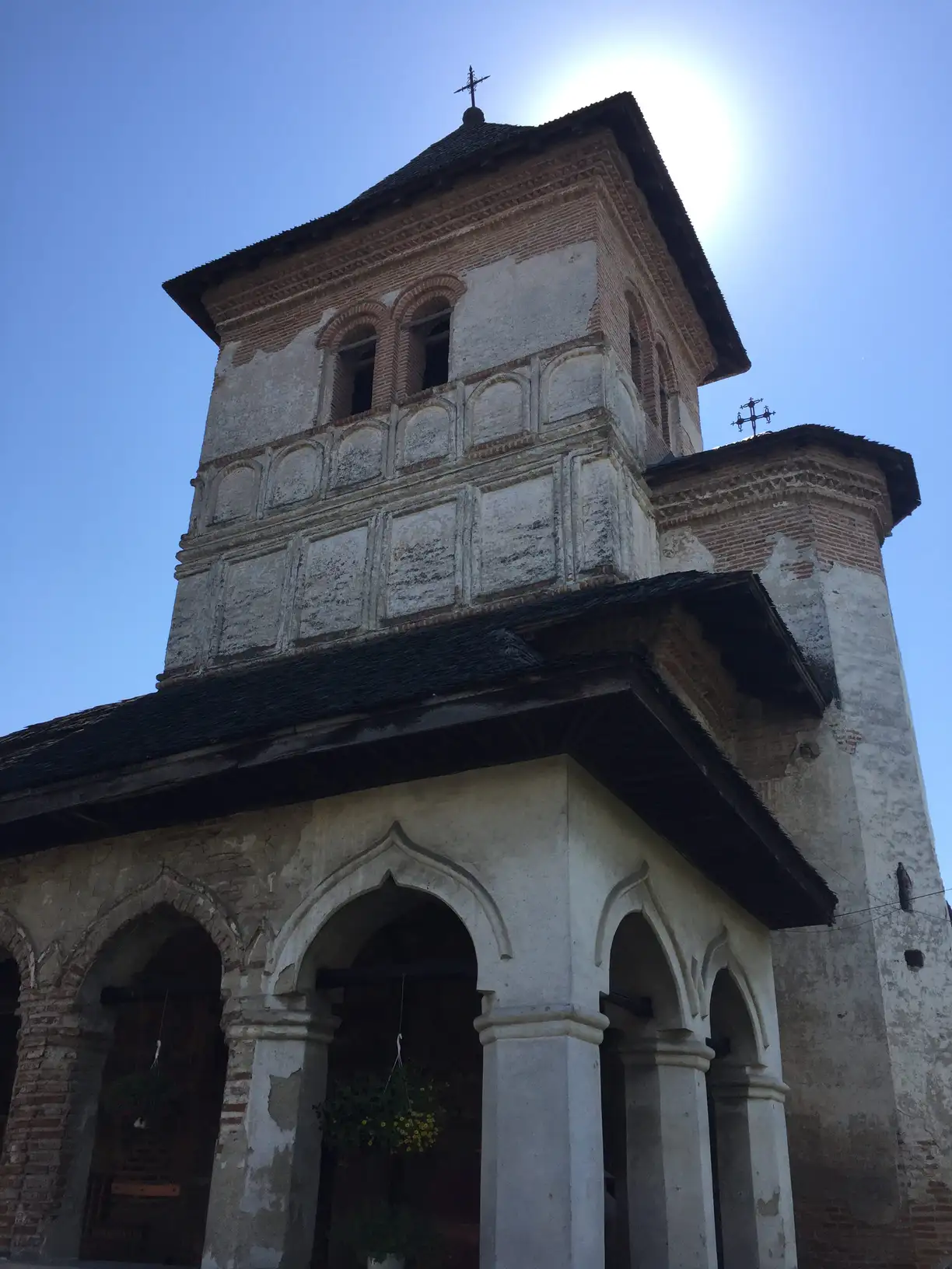
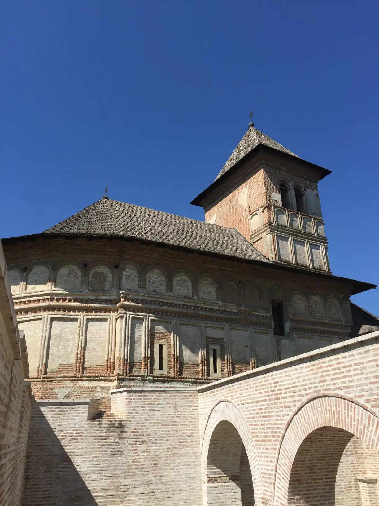
Legendă / Poveste / Impresii / Recomandări: Mănăstirea a fost construită la mijlocul secolului al XVII-lea, în timpul domniei lui Matei Basarab. Ansamblul mănăstiresc care este compus din turn, ziduri de apărare și biserica propriu-zisă, precum și ruinele vechii reședințe domnești, se află pe lista monumentelor istorice din România. Mănăstirea Strehaia este singura mănăstire din țară care are altarul orientat spre sud. Legenda, relatată ulterior și de Nicolae Iorga, spune că de fapt Mihai Viteazu, care s-a născut la Strehaia ar fi făcut o biserică și pentru că a construit-o noaptea, s-a orientat greșit, construind astfel altarul spre sud. Cert este că Matei Basarab a păstrat și el aceeași orientare. Alte povești spun că motivul pentru care au orientat altarul spre sud ar fi fost unul strategic, pentru a induce turcii în eroare și a-i dezorienta. O altă ipoteză este că ar fi fost orientată având în vedere solstiţiul de iarnă, căci pe 22 decembrie, la orele 8.30-9.00, raza de soare care pătrunde pe fereastra de la altar împarte biserica în două părţi egale.
Informații și Contact:
Mănăstirea se află în administrarea Episcopiei Severinului și a Strehaiei: tel: +4 0252 333 048, 0252 333 039, e-mail: secretariat@episcopiaseverinului.ro website: www.episcopiaseverinului.ro
Rută apropiată de alte rute tematice:
În zonă se mai pot vizita:
– Vestigii din secolul al XV-lea, perioadă în care a fost construită şi Mănăstirea Sfânta Treime” din Strehaia
Alte informații utile:
Evenimente în Strehaia:
– Zilele Orașului Strehaia, în fiecare an, pe 21 mai, când se sărbătoresc și Sfinții Împărați Constantin și Elena.
Coordonate GPS: lat, long 44.71177195, 23.19182, elevație 146 m