Română
 Serbian
Thematic Route: The Hiking Route
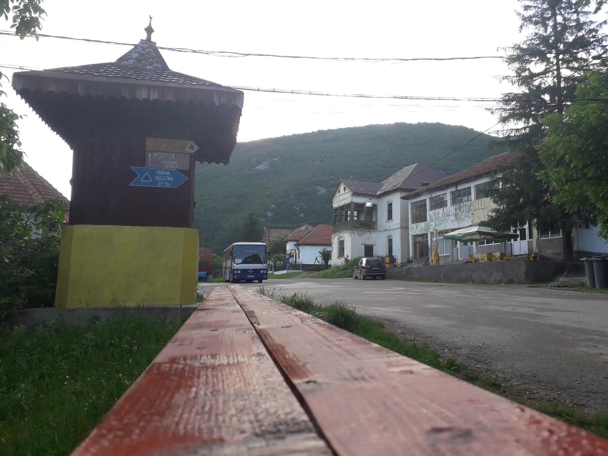
Name of the Touristic Attraction: Izverna (in center) – “Plaiul Lung” – Plaiului (Draghina ) Glade –Plaiului Valley – La Pripor – Beletina Saddle – Cernei Valley” Trail
Location: in Mehedinți County. Access to the route is made from Drobeta Turnu Severin or Baia de Arama on DJ670 and DC50 to Isverna.
Description: The route starts from a path that passes in front of the City Hall, climbs through the village and after about 1 km goes directly to the peak “Plaiul Lung” . The trail follows the peak until it reaches Drăghina Glade. From here the trail goes to the right side of the clearing and soon enters the Plaiul Valley. There is a limestone and forested area until the place known as “La Pripor”, from where the route passes through the forest up to the Ladies Valley. The trail follows the left bank of the valley in a slight climb. Then the trail drifts slightly to the right and is located in the main ridge above Beletina Glade, near a sheepfold.
Conditions:
Hiking:
– marking: blue triangle
– duration: 2 ½ – 3h
– difficulty grade: medium
– access conditions: not recommended during winter
– equipment: regular, for mountain hiking
Information and Contact:
The route is in the administrative territory of Mehedinţi Geoparc Plateau:
Phone/ fax: 0372 521 116,
Website: http://www.geoparcmehedinti.ro
Route close to other Thematic Routes:
The belvedere points on the route are:
–“ Plaiul Lung” and “Deaghina” Glade, view towards Isverna and “Cosusta” Meadow.
–Beletina Saddle , view towards Beletina Glade and Stan’s Peak
Other useful information:
Accommodation:
“STEAUA MUNTILOR” Pension: Isverna Commune: phone: +40756 322.095
GPS Coordinates:
Trail entrance, 44* 58’ 45.54’’N , 22* 37’ 27.86’’E , 447m
Beletina Saddle, 45* 00’ 35.78’’N , 22* 36’ 08.50’’E , 1200m