Română
 Serbian
Thematic Route: The Cultural Heritage Route
Name of the Touristic Attraction: Rogova Commune
Location: Situated in the southwest of Mehedinţi County, on DN16A at the junction with DJ562. The commune is 25 km away from Drobeta Turnu Severin and 7 km from Vânju-Mare.
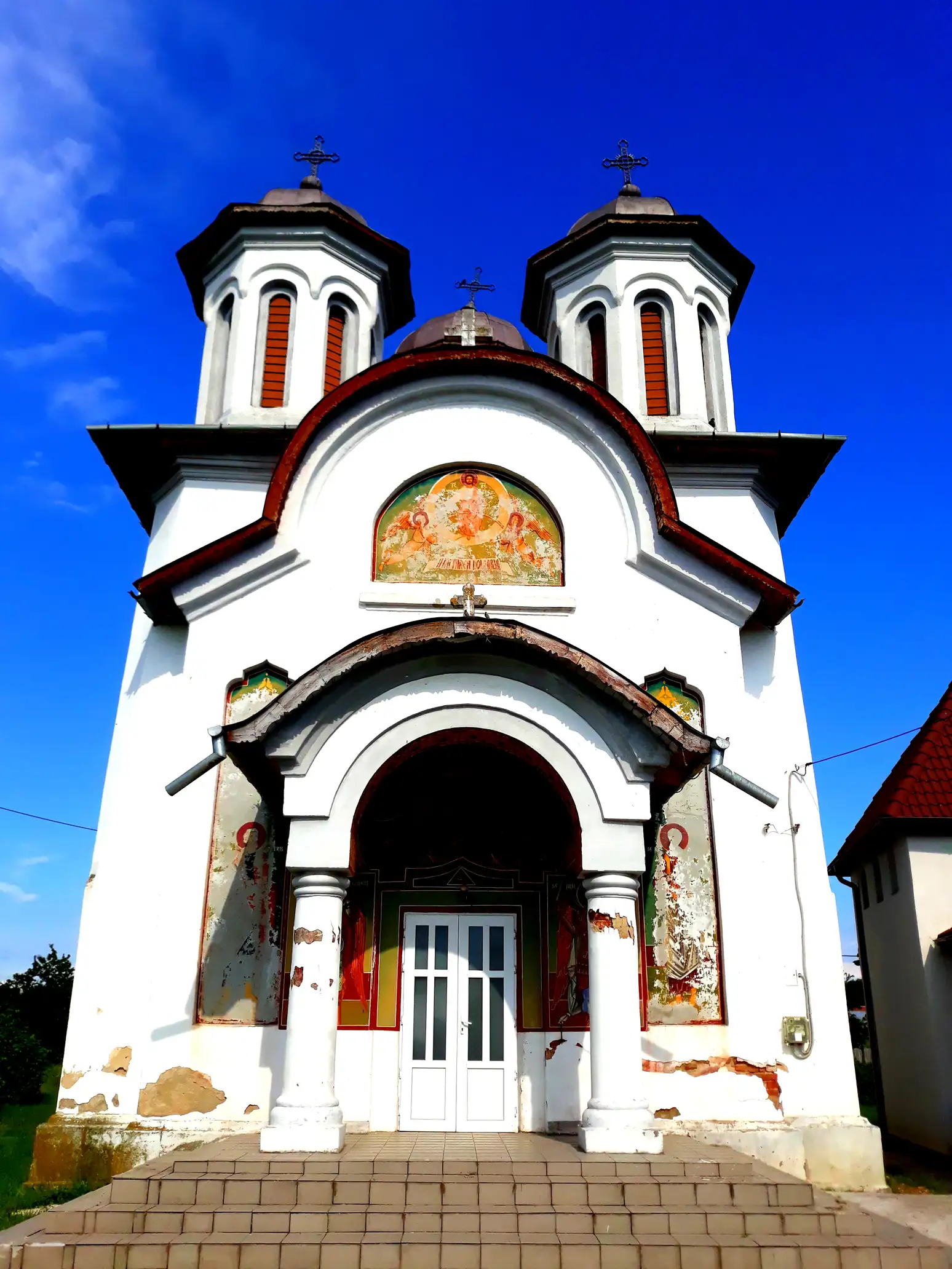
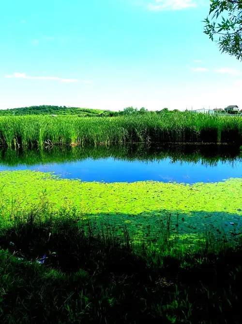
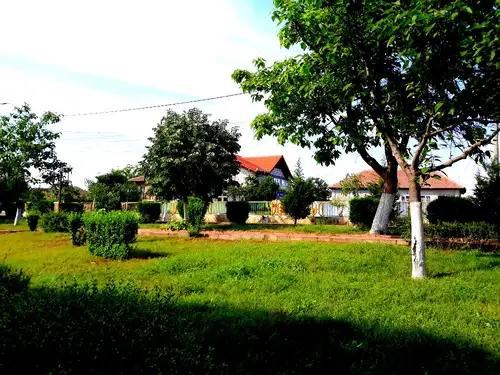
Description: Rogova is a commune located in the Oltenia Plain, on the bank of the Blahniţa River, an affluent of the Danube. The commune is a connecting hub between the plain area and the hilly area in the southwestern part of the country. The place has provided favorable natural conditions since the earliest times, due to the configuration of the land, being surrounded by hills and forests with a southward exit. Being located on the Blahniţa River Valley and in the immediate vicinity of the Small Danube Arm, the settlement offers a rich natural potential. Rogova includes a number of historical objectives of tourist interest including: The Church of St. Nicholas, built in 1832, or the Romanian Orthodox Church, built in 1960. Also within the commune are the vineyards of Vinarte-Starmina Wine Cellar.
Legend / Story / Impressions / Recommendations: It is documented in the Charter from December 18, 1539. At that time Radu Paisie Voivode delegates Dietco, a descendant of Brâncoveanu, to lead these lands. The existence of the commune, however, dates back even more, according to the historical sources and archaeological discoveries. Thus, the attestation of the village of Poroiniţa, which is part of the commune, coincides with the year 1392, when Mircea the Elderly Voivode gave to Cozia monastery the villages of Cereaşov and Poroinița.
Information and Contact:
Rogova City Hall: tel: +4 0252-353001
Route close to other thematic routes:
In the commune you can also visit:
– “St. John the Baptist” Church in the village of Poroiniţa, built in 1822
In the area you can also visit:
- Lunca Vânjului Forest, declared Natural Reservation
- Stârmina Forest, protected area of national interest
GPS Coordinates: lat, long: 44.4729035, 22.805056000000036, elevation: 104 m