
 Română
 Serbian
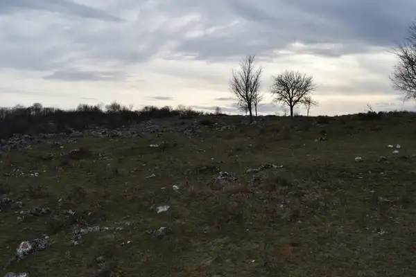
Thematic Route: The Cultural Heritage Route
Name of Touristic Attraction: Cornetul Bălții.
Location: in Mehedinti County. It is located in the south-west of Balta village, in the north-western extremity of Mehedinţi County, in the Mehedinţi Plateau, between the Mehedinţi Mountains and Getic Piedmont, close to the territorial limit with Caraş-Severin County. It is crossed by the county road DJ670 and is at a distance of about 14 km from the village of Isverna.
Description: It is a natural area of national interest located in Mehedinţi County, on the administrative territory of Isverna commune. Cornetul Bălții, with a surface of 30 hectares, is an area included in the Mehedinţi Plateau Geoparc and is bordered to the northeast with the Cornetul Babelor and Cerboana natural reservation.
Information and Contact:
Cornetul Bălții is under the administration of Geoparc Mehedinți Plateau:
Phone: +40372 521 116, website: http://www.geoparcmehedinti.ro
Route close to other thematic routes:
In the area you can also visit:
– Cornetul Babelelor and Cerboanei Natural Reservation
– The Isverna cave
– Beletina Glade
– The Coșuștei Springs and Keys
Other useful information:
Accommodation:
– Pietrele Albe Guesthouse: Seliştea Village, Isverna Commune, tel: +40722 335 322.
Events:
– KARST ISVERNA MTB mountain-bike competition – marathon- Isverna commune – August
Feasts in Balta Commune:
- Treats – on all celebration days, beginning with Good Friday
- In New Year’s Eve, in the commune is a custom according to which the aspen is planted to see which moon is rainier, and in the morning, the children go to the midwives with a type of bread named ”colac”.
- – On Epiphany day, the girls put a twig of basil under their head to dream their meant to be. Most of the time, on the commune streets, children play different games left as an inheritance from the village’s elders: buzz, whip, and bustle.
- The Sheep Measuring- in May
GPS Coordinates: lat, long: 44.90273210000001, 22.66320369999994, elevation: 544 m
