Română
 Serbian
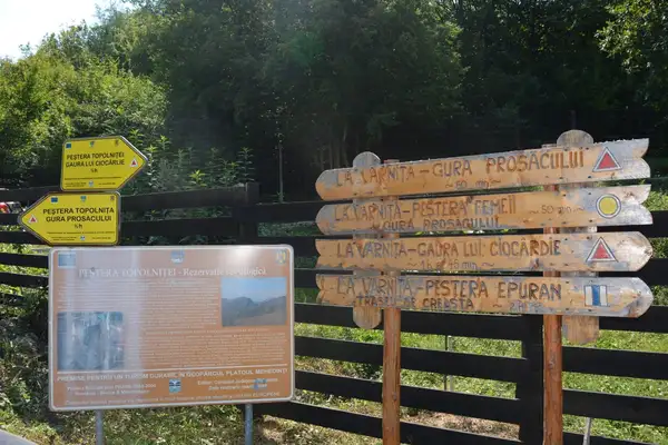
Thematic Route: The Hiking Route
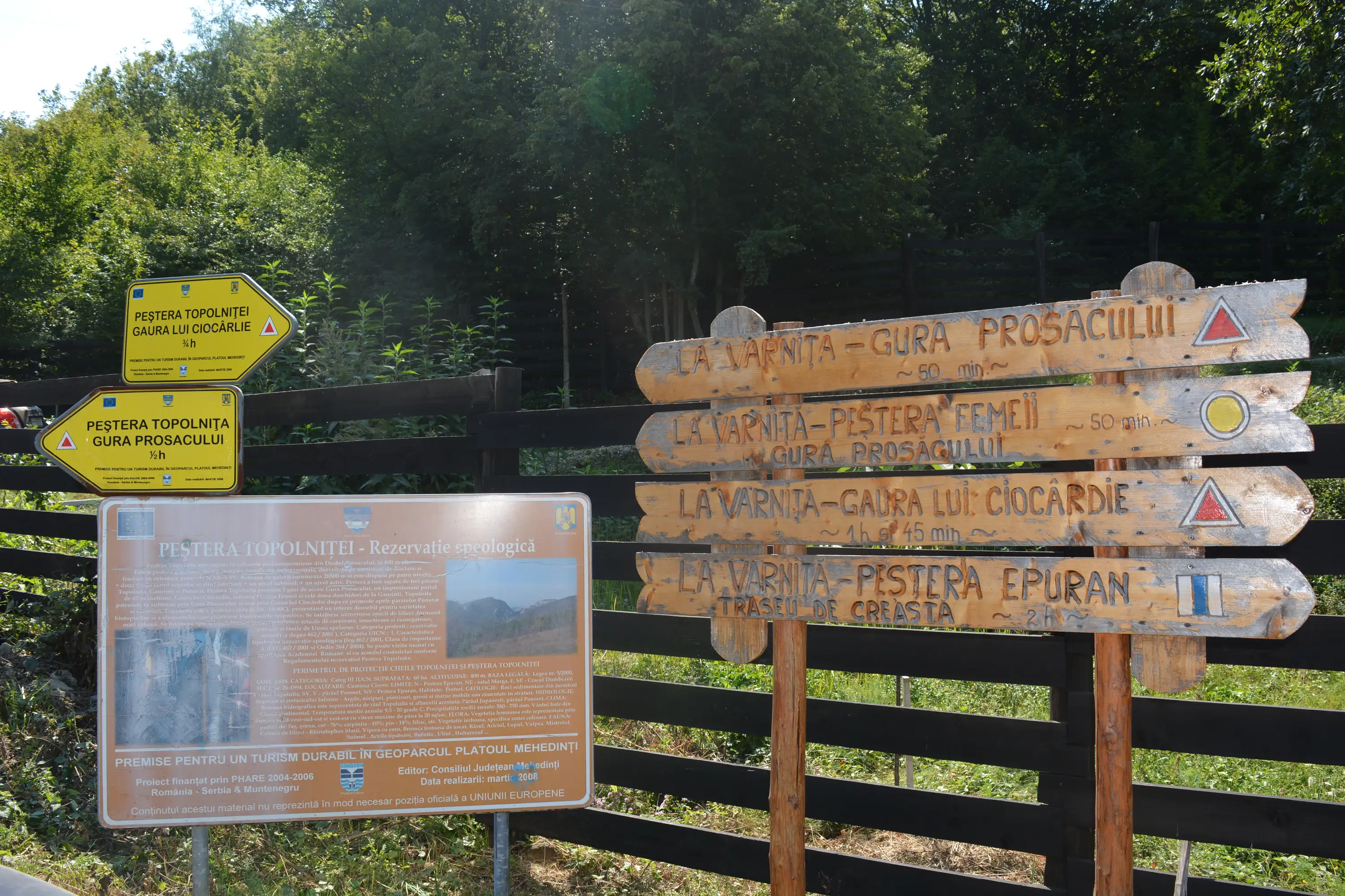
Name of the Touristic Attraction: “At Varniţă” – Șaua Găurinţi – “Lunca cu Lilieci” Valley – Cracul Răşiţa – “ Topolniţa” Valley – Ciocârdie Hole” Trail
Location: in Mehedinți County. The access to the route is made from Drobeta Turnu Severin, on DJ 607B towards Ciresu (28 km), then towards Marga approx. 3 km until Varniţa.
Description: From the meadow called “La Varniţă” where there is an information panel and arrows, the trail follows a path that goes through the meadow to the N-V, crosses a forest and reaches a hillside. At the top to the left it meets the only belvedere point on the route. The trail descends to a scree valley bordered by limestone walls, then it reaches a wide and wooden valley. On the right, to the north, there is a saddle from where the entrance Găurinţi of Topolnita cave, can be reached. The trail follows the path to the left, through the forest, crosses a small meadow, then climbs up the right slope until it reaches a peak. Here it intersects with an old road coming from “Răşita” Peak. The trail descends to the south through the forest until the riverbed of Topolniţa River, which then the trail follows upstream, reaching shortly the Ciocârdie Hole, the place where the river comes out of the cave.
Conditions:
Hiking:
– Marking: red triangle
– Time: ¾ h
– Degree of difficulty: medium
– access conditions: all year
– equipment: normal, mountain hiking equipment
Information and Contact:
The route is in the administrative territory of Mehedinţi Geoparc Plateau:
Phone/ Fax: +4 0372 521 116,
E-mail: geoparcmehedinti@gmail.com
Website: http://www.geoparcmehedinti.ro
Route close to other Thematic Routes:
There are a number of routes linked to this route:
– the road on the peak of Răşita towards Cireşu
–Topolniţei Valley to “Schitul Topolniţei” Monastery
–Prosăcului’s Aperture and Women’s Cave (entrances in Topolniţa Cave)
–Epuran Cave over Prosăcului Cornet
The points of interest encountered on the route are:
– the limestone area beneath “La Varniţă” meadow
– the resurrection of Topolnita at “Ciocârdie” Hole
– belvedere point:
– The rocks above “La Varniță”, view over “Pețimii” Meadow, “Prosăcului” Cornet, Mehedinţi Mountains and Plateau
GPS Coordinates:
La Varniţă: 44* 49’ 01.27” N , 22* 33’ 42.76” E , 430m
Ciocârdie Hole , 44* 48’ 52.27” N , 22* 33’ 36.12” E , 375m